Tidal Energy Test Site Living Bridge Project
| Lead Organisation | University of New Hampshire |
| Country | USA |
| Type | Tidal |
| Website | https://marine.unh.edu/center-ocean-renewable-energy/projects/tidal-energy |
-
Type of Testing Tidal Year Established Temperate/Tropical Commercial/Array/Full scale/Scale Scale Development Status Operational Overview
The UNH tidal energy test site is at the General Sullivan Bridge where the Lower Piscataqua enters Little Bay through a constriction. This site is considered a full-scale test site for vertical axis turbines, while it can be considered a “large-scale” test site (geometric scale 1:3-1:5) for large diameter horizontal axis turbines.
The Living Bridge is instrumented with sensors that capture structural performance, traffic patterns, environmental conditions, the behaviour of innovative bridge design elements and enable and promote community engagement. The information collected with these sensors is shared with researchers, bridge designers and the bridge owner, but also, where appropriate, with K-12 classrooms and the public. Aesthetic lighting and social media is used to communicate relevant information from the bridge and environmental sensors, such as weather, tides and traffic to the local community. The bridge sensor network, information communication system and aesthetic lighting are powered by a locally available renewable energy resource, tidal energy. The proposed sensing network, including structural response sensors, underwater instrumentation and cameras, and weather stations, will allow for a complete system-based evaluation, including the impact of the tidal turbine. This “smart bridge” provides a platform for continued innovation of sensor, communication and energy technologies.
Test Site is 2 miles upriver from UNH's Marine Research Pier in New Castle, NH, used for staging, and about 150 m from Prescott Park public docks for shuttling personnel.
-
Number of Berths 1 Water Depth 18m Min Water Depth (m) Max Water Depth (m) Avg Water Depth (m) Annual mean significant wave height Maximum recorded wave height Mean (averaged current speed) Maximum current speed 2.5 m/s (4.9 kt) Maximum tidal range 3.7 m Mean wind speed Max wind speed Seabed type Total test area (km2) Distance to land Grid connected Grid connection capacity Rated export capacity and connection Proximity to nearest harbour (km) 3.2 km -
Demonstration Projects
- 3.2 m cross-flow turbine; New Energy Corp model EVG-025
Infrastructure
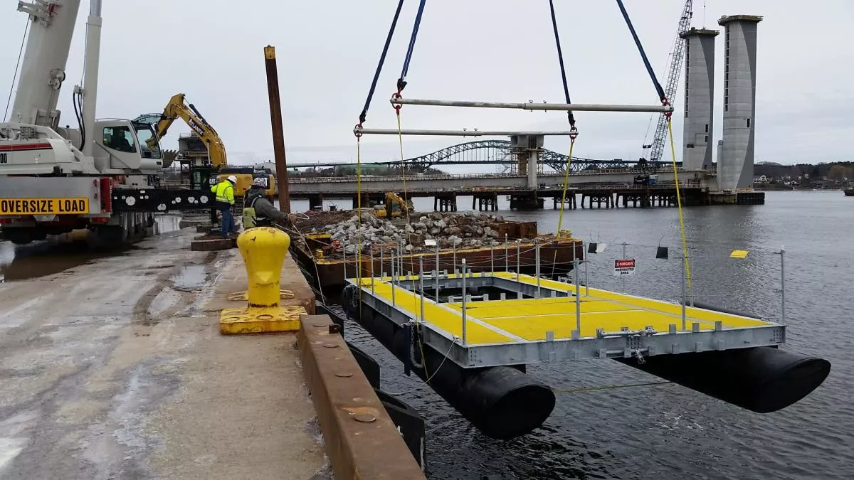
Turbine Deployment Platform:- Turbines deployable via a floating platform and moon pool.
- Floating platform dimensions - 15 m x 6 m (49 ft x 18 ft).
- Two 1.1 m (42”) diameter pontoons (HDPE, foam filled), galvanized steel frame with moon pool
- At Memorial Bridge: Moored to two 22 ft tall vertical guide posts, at General Sullivan Bridge: can be moored with bottom anchors and on bridge piers
- Designed to deploy one turbine with up to approximately 3 m in diameter, max. thrust 23 kN
- Moon pool clearance, width 3.39 m (11 ft 1-1/2 in), length 5.74 m (18 ft 10-1/4 in)
- Turbine attachment: mounting bracket with universal bolt pattern
- Flexibly located universal instrumentation mount
- Power conditioning (rectifier, inverter, ballast load, etc) equipment exists for grid-connected and/or off-grid testing
- Accommodates cross-flow and axial-flow turbines with diameters up to approx. 3 m (9.8 ft)
- Platform attached to bridge pier via galvanized steel vertical guide posts
- Permitting through US Army Corps of Engineers; Biological Evaluation under NEPA through DOE
- Can be operated in grid-connected or off-grid mode
Note: A smaller 35 ft x 10 ft turbine deployment platform is also available.
Equipment available to support site deployments
- Instrumentation & sensor suite includes ADVs, ADCPs, CTDs, acoustic cameras, optical cameras, power monitoring, weather stations, etc.